


How to Subdivide Land for Land Development in Florida in 2026 | JRH
- Apr 29
- 2 min read
Updated: Apr 30

Subdividing land in Florida in 2026 is a multi-step process that demands careful planning, regulatory compliance, and engineering expertise.
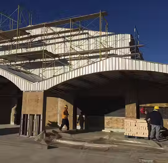
JRH Engineering & Environmental Services guides Florida land development projects from feasibility through final plat.
Step 1: Determine Jurisdiction
Before anything else, identify which authority governs your parcel:
Incorporated city: city land development code applies
Unincorporated county: county land development code applies
Coastal parcels: additional Coastal Construction Control Line (CCCL) rules apply through the Florida Department of Environmental Protection
This single decision dictates which review boards, fees, and timelines you face.
Step 2: Pre-Application Meeting and Site Analysis
Schedule a pre-application meeting with the local planning department, then complete a thorough site analysis:
Boundary and topographic survey by a licensed Florida surveyor
Geotechnical testing (sinkhole risk is critical in Central Florida)
Wetland delineation per USACE and Florida DEP
FEMA flood zone determination using the FEMA Map Service Center
Concurrency review for traffic, schools, and utilities
This data drives feasibility study decisions on lot yield and infrastructure cost.
Step 3: Preliminary Plat
Per Florida Statutes Chapter 177, the preliminary plat must show:
Lot lines, block layout, and dimensions
Existing easements, rights-of-way, and adjacent parcels
Proposed roads, drainage, and utility corridors
Floodplain and wetland boundaries
Required setbacks and open space
Step 4: Environmental Resource Permit (ERP)
Florida requires an ERP before infrastructure construction. Each parcel falls under one of five Water Management Districts:
South Florida Water Management District (SFWMD)
Southwest Florida Water Management District (SWFWMD)
St. Johns River Water Management District (SJRWMD)
Suwannee River Water Management District (SRWMD)
Northwest Florida Water Management District (NWFWMD)
The ERP regulates stormwater, wetland impacts, and surface water management. Our free detention pond calculator can help you size early concept storage volumes.
Step 5: Public Hearings and Final Plat
After preliminary review:
Attend public hearings at city or county planning board
Address conditions of approval
Prepare final plat and signed-and-sealed civil engineering construction plans
Submit final plat for governing body approval
Post fiscal surety (performance bond or letter of credit)
Step 6: Recording, Construction, and Lot Sales
Once approved:
Record the final plat at the county clerk's office
Build infrastructure per approved plans
Pass final inspection and obtain completion certification
Begin lot sales
2026 Florida Considerations
Recent updates worth flagging:
Updated FEMA flood maps in several counties, including Manatee, Sarasota, and Bradenton
Florida Building Code 9th Edition and 2024 IBC/IRC enforcement
Expanded hurricane wind-borne debris regions along the coast
Stricter wetland mitigation ratios under FL DEP
Our Florida blog feed covers each of these updates in detail, and our free reference guides include a Florida subdivision permit checklist and processing timeline.
Want More Information on this Topic?
For Florida land development feasibility studies, civil engineering, and permit-ready plans — and our service areas in Texas and North Carolina — contact JRH Engineering & Environmental Services:
Phone: (800) 227-9635
Use the chatbot on the lower right-hand side of the screen
Contact page: https://www.jrhengineering.net/contact-us.
This article was written by the team at JRH Engineering and Environmental Services, a licensed engineering firm with 18 years of experience in civil, structural, and land development. JRH is a licensed professional engineer in the states of Texas, Florida, and North Carolina.


Comments