


Parkside Trails — 42-Acre Residential Subdivision Civil Engineering in Alvin, TX
Alvin · Brazoria County · Texas
Residential & Multifamily Development
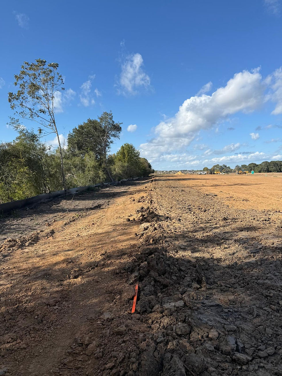
Civil engineering for a floodplain subdivision in Brazoria County
JRH Engineering delivered complete civil engineering design for the Parkside Trails residential neighborhood — a 42-acre subdivision in Alvin, Texas, located in the floodplain and requiring off-site water and sanitary connections. JRH purchased regional detention credits from CNR3, arranged off-site fill sourcing to raise pad elevations, and tied utilities into an existing adjacent neighborhood — delivering a fully permitted floodplain subdivision without on-site detention construction or greenfield utility extensions.
AT A GLANCE
Site civil design
Full civil design for 42-acre residential subdivision including lot layout, grading, road design, and floodplain mitigation
Off-site fill arranged by developer to raise pad elevations above the base flood elevation — fill sourcing coordinated with grading design
Street access designed to connect to the City of Alvin street network
Utility infrastructure
Water and sanitary tied into existing adjacent neighborhood infrastructure — no greenfield utility extension required
MUD district utility coordination completed concurrently with city and drainage district permitting
Stormwater and drainage
CNR3 regional detention credits purchased — on-site pond design, engineering, and construction eliminated
Floodplain compliance achieved through fill and the FEMA CLOMR-F and LOMR-F process — lots removed from the FEMA Special Flood Hazard Area
Detention credit purchase compressed the design and construction schedule significantly
Permitting and agency coordination
City of Alvin, MUD, and CNR3 approvals pursued simultaneously
CLOMR-F and LOMR-F coordinated concurrently with subdivision civil permitting
Complete multi-agency submission package managed by JRH
The Challenge
A 42-acre subdivision sitting in the floodplain with no adjacent utility service faces three cost centers at once: on-site detention, fill to raise pads above the base flood elevation, and a greenfield utility extension. Any one of them can decide whether the lot yield still pencils.
JRH’s Approach
JRH removed two of the three. Regional detention credits were purchased from CNR3, eliminating the on-site pond and taking an entire design and construction track off the schedule. Water and sanitary were tied into the existing adjacent neighborhood instead of extending greenfield mains. Off-site fill was arranged with the developer and coordinated directly with the grading design to lift pads above the base flood elevation, and the CLOMR-F and LOMR-F were processed concurrently with subdivision permitting so the floodplain work never became the critical path. City of Alvin, MUD and CNR3 approvals were pursued simultaneously.
The Results
01
On-site detention eliminated through CNR3 regional credit purchase — the design and construction track was removed from the schedule
02
Greenfield utility extension avoided — water and sanitary tied into adjacent neighborhood infrastructure
03
Floodplain lots removed from the FEMA Special Flood Hazard Area through the CLOMR-F and LOMR-F process
04
Frequently Asked Questions
What was the main engineering challenge on the Parkside Trails subdivision?
The 42-acre subdivision sat in the floodplain and required off-site water and sanitary connections, with floodplain fill, detention obligations, and multi-agency approval all needing to move together.
How did JRH Engineering approach the Parkside Trails floodplain subdivision?
JRH purchased CNR3 regional detention credits to eliminate on-site pond construction, arranged off-site fill sourcing to raise pad elevations above the Base Flood Elevation, and tied utilities into an existing adjacent neighborhood instead of extending into raw land.
What were the results of the Parkside Trails project?
JRH eliminated on-site detention design and construction, avoided a greenfield utility extension, and removed the subdivision's lots from the FEMA Special Flood Hazard Area through the CLOMR-F/LOMR-F process, delivering the project at a construction value of $3,100,000.